World Bank – Dominican Republic – Broad Scope Session
Satellite-derived risk information for Spatial Data Infrastructures
The collaboration of EO4SD-DRR and the World Bank in the Dominican Republic has as main user the Instituto Geográfico Nacional José Joaquín Hungría Morell (National Geographic Institute or IGN as its acronym in Spanish). The aim of the collaboration has been to prove the suitability of Earth Observation to provide geospatial data for disaster risk management at a large scale supporting the establishment of a national Spatial Data Infrastructure. Moreover, products focused on assessing the impact of Earthquakes as trigger for landslides were produced and explained given the current scenarios of seismic threats, tsunami and landslides over the Area of Interest.
The Area of Interest (AOI) covers approximately 8,700 km² within the administrative provinces of the north coast of the Dominican Republic: Monte Christi, Valverde, Puerto Plata, Espaillat, Salcedo, Maria Trinidad Sánchez and Duarte. Two different services were provided under the collaboration, a Reference Map and an Earthquake Impact Assessment. Under the Reference Map, three products were delivered to the user, a land use map focused on urban associated uses, a transport network and an analysis of the urban areas for 2020 and its evolution since 2017.
The scope of this session was to explain the products delivered under the collaboration between EO4SD-DRR and the World Bank, focusing on the relevant outcomes of the services (including limitations) and the utility and benefits they may bring to the IFIs and Client States. The activity also served to provide the users with access to EO4SD-DRR delivery platform for accessing the results and invite the entities involved to the more technical sessions taking place on 17th and 18th of June.
Thanks to the leadership of the CEO and the Director of Cartography of the IGN, all institutions were represented by director and high level managers. In the session there was a live discussion on availability of national data for future validation of the products and services and further cooperation activities.
Event category: Broad scope
IFI: World Bank
Cluster´s partners involved: ZAMG, Indra.
Main user: Instituto Geográfico Nacional José Joaquín Hungría Morell (National Geographic Institute or IGN as its acronym in Spanish).
Other users involved: National Office for Seismic Assessment and Vulnerability of Infrastructure and Buildings (ONESVIE by its Spanish acronym), University Geographic Institute, National Geographic Service, Military Cartographic Institute, Public Works Ministry, National Seismological Laboratory and Espaillat province strategic plan.
Number of participants: 40
Date: 14/06/2021
Location: Online
Official language: Spanish
Download the Broad Scope agenda
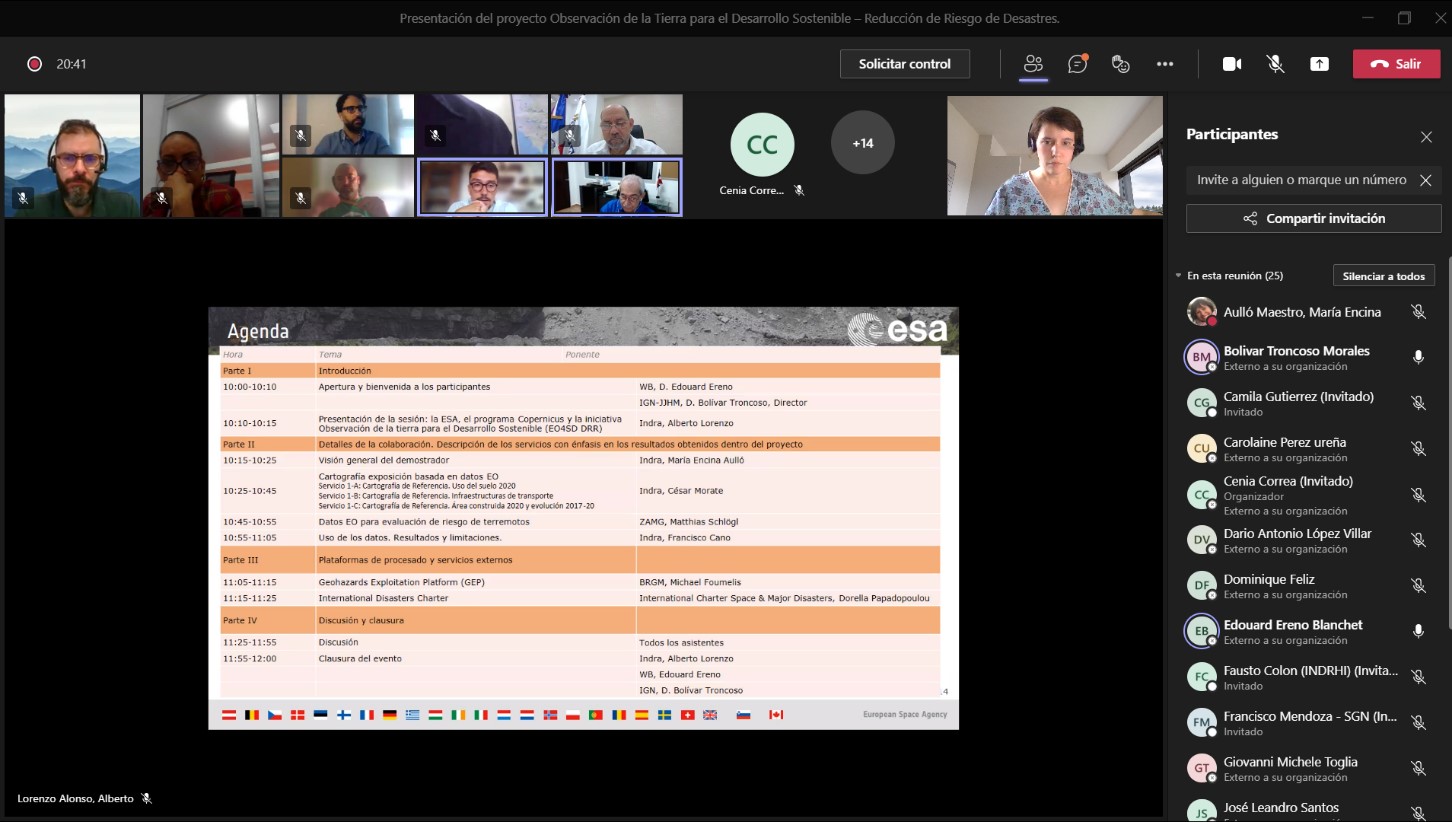 Capture of one moment of the session showing a discussion between Mr. Bolívar Troncoso (IGN, General Director) and Mr. Edouard Ereño (WB).